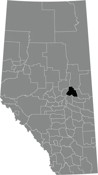
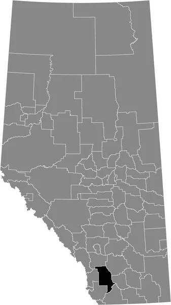
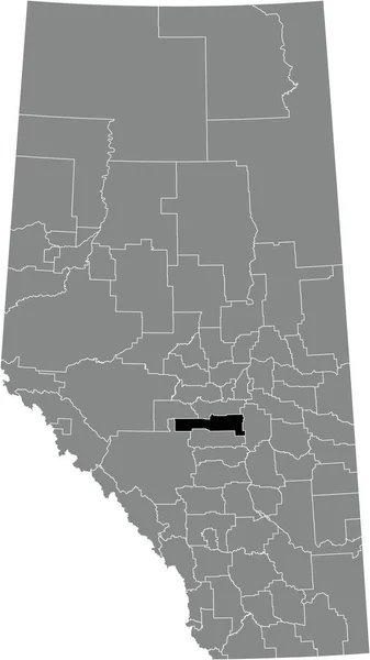
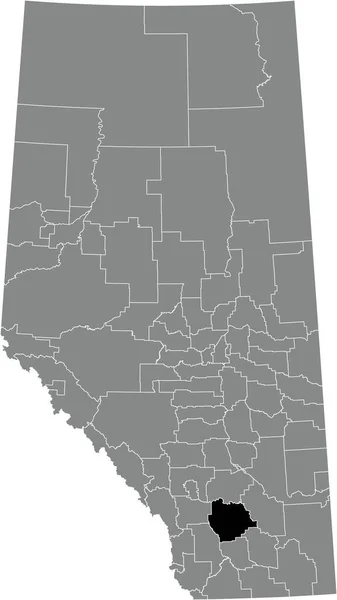
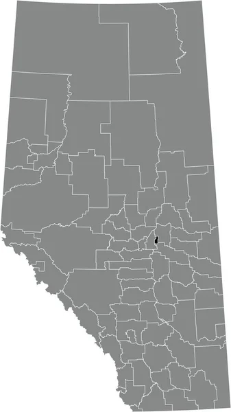
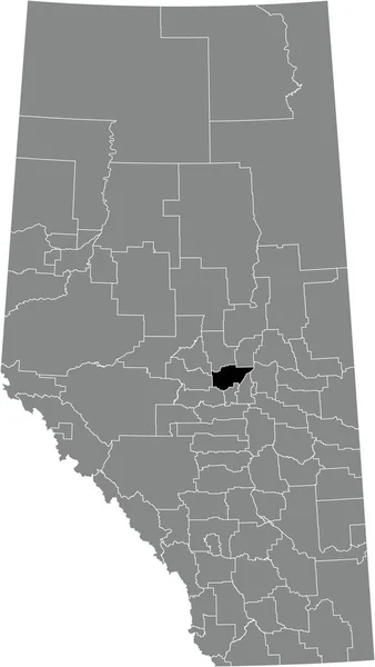
Black Flat Blank Highlighted Location Map Camrose County Municipal District — Image vectorielle

Black flat blank highlighted location map of the CAMROSE COUNTY municipal district inside gray administrative map of the Canadian province of Alberta, Canada — Vecteur

Black flat blank highlighted location map of the CAMROSE COUNTY municipal district inside gray administrative map of the Canadian province of Alberta, Canada

 — Vecteur par momcilo.jovanov

Même série:

Black flat blank highlighted location map of the SMOKY LAKE COUNTY municipal district inside gray administrative map of the Canadian province of Alberta, Canada
Black Flat Blank Highlighted Location Map Smoky Lake County Municipal — Image vectorielle
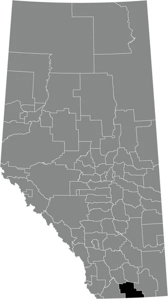
Black flat blank highlighted location map of the WILLOW CREEK NO. 26 municipal district inside gray administrative map of the Canadian province of Alberta, Canada
Black Flat Blank Highlighted Location Map Willow Creek Municipal District — Image vectorielle
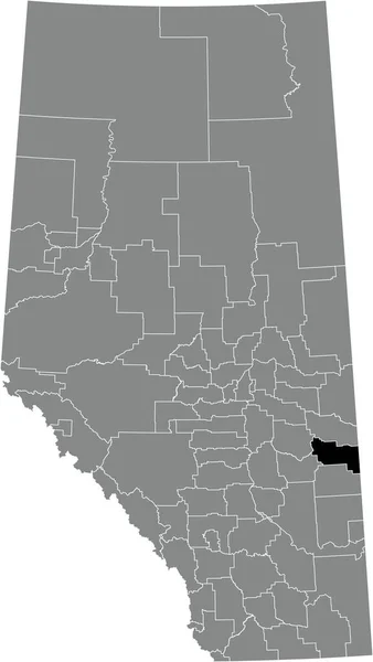
Black flat blank highlighted location map of the COUNTY OF VERMILION RIVER municipal district inside gray administrative map of the Canadian province of Alberta, Canada
Black Flat Blank Highlighted Location Map County Vermilion River Municipal — Image vectorielle
Black flat blank highlighted location map of the COUNTY OF WETASKIWIN NO. 10 municipal district inside gray administrative map of the Canadian province of Alberta, Canada
Black Flat Blank Highlighted Location Map County Wetaskiwin Municipal District — Image vectorielle
Black flat blank highlighted location map of the VULCAN COUNTY municipal district inside gray administrative map of the Canadian province of Alberta, Canada
Black Flat Blank Highlighted Location Map Vulcan County Municipal District — Image vectorielle
Black flat blank highlighted location map of the ACADIA NO. 34 municipal district inside gray administrative map of the Canadian province of Alberta, Canada
Black Flat Blank Highlighted Location Map Acadia Municipal District Gray — Image vectorielle
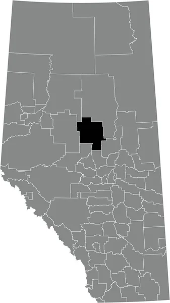
Black flat blank highlighted location map of the IMPROVEMENT DISTRICT NO. 13 (ELK ISLAND) inside gray administrative map of the Canadian province of Alberta, Canada
Black Flat Blank Highlighted Location Map Improvement District Elk Island — Image vectorielle
Black flat blank highlighted location map of the KNEEHILL COUNTY municipal district inside gray administrative map of the Canadian province of Alberta, Canada
Black Flat Blank Highlighted Location Map Kneehill County Municipal District — Image vectorielle
Black flat blank highlighted location map of the CYPRESS COUNTY municipal district inside gray administrative map of the Canadian province of Alberta, Canada
Black Flat Blank Highlighted Location Map Cypress County Municipal District — Image vectorielle
Black flat blank highlighted location map of the LESSER SLAVE RIVER NO. 124 municipal district inside gray administrative map of the Canadian province of Alberta, Canada
Black Flat Blank Highlighted Location Map Lesser Slave River 124 — Image vectorielle
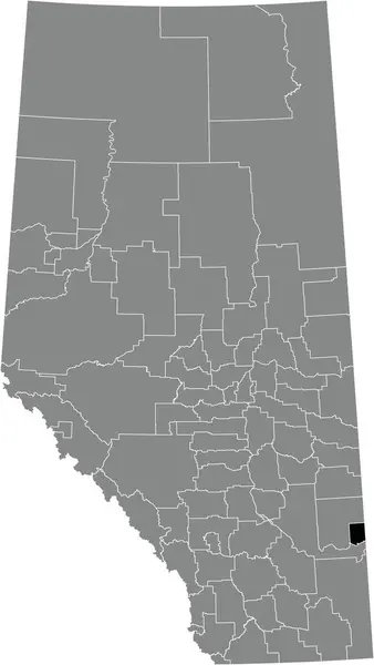
Black flat blank highlighted location map of the TABER municipal district inside gray administrative map of the Canadian province of Alberta, Canada
Black Flat Blank Highlighted Location Map Taber Municipal District Gray — Image vectorielle
Black flat blank highlighted location map of the PARKLAND COUNTY municipal district inside gray administrative map of the Canadian province of Alberta, Canada
Black Flat Blank Highlighted Location Map Parkland County Municipal District — Image vectorielle
Black flat blank highlighted location map of the PROVOST NO. 52 municipal district inside gray administrative map of the Canadian province of Alberta, Canada
Black Flat Blank Highlighted Location Map Provost Municipal District Gray — Image vectorielle
Black flat blank highlighted location map of the STURGEON COUNTY municipal district inside gray administrative map of the Canadian province of Alberta, Canada
Black Flat Blank Highlighted Location Map Sturgeon County Municipal District — Image vectorielle
Black flat blank highlighted location map of the COUNTY OF WARNER NO. 5 municipal district inside gray administrative map of the Canadian province of Alberta, Canada
Black Flat Blank Highlighted Location Map County Warner Municipal District — Image vectorielle
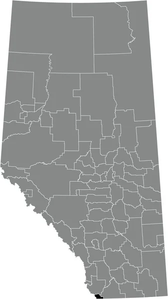
Black flat blank highlighted location map of the IMPROVEMENT DISTRICT NO. 4 (WATERTON) inside gray administrative map of the Canadian province of Alberta, Canada
Black Flat Blank Highlighted Location Map Improvement District Waterton Gray — Image vectorielle

Vidéos similaires:

Wyoming état fédéral clignotant rouge mis en évidence dans la carte de États-Unis
Wyoming État Fédéral Clignotant Rouge Mis Évidence Dans Carte États — Video
Nebraska état fédéral clignotant rouge mis en évidence dans la carte des États-Unis
Nebraska État Fédéral Clignotant Rouge Mis Évidence Dans Carte Des — Video
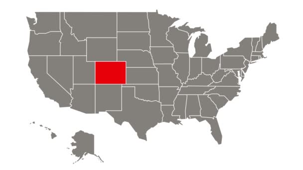
Colorado état fédéral clignotant rouge mis en évidence dans la carte de États-Unis
Colorado État Fédéral Clignotant Rouge Mis Évidence Dans Carte États — Video
Oregon état fédéral clignotant rouge mis en évidence dans la carte des États-Unis
Oregon État Fédéral Clignotant Rouge Mis Évidence Dans Carte Des — Video
Idaho état fédéral clignotant rouge mis en évidence dans la carte des États-Unis
Idaho État Fédéral Clignotant Rouge Mis Évidence Dans Carte Des — Video
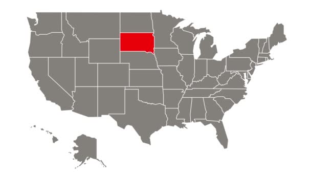
Dakota du Sud état fédéral clignotant rouge mis en évidence dans la carte des États-Unis
Dakota Sud État Fédéral Clignotant Rouge Mis Évidence Dans Carte — Video
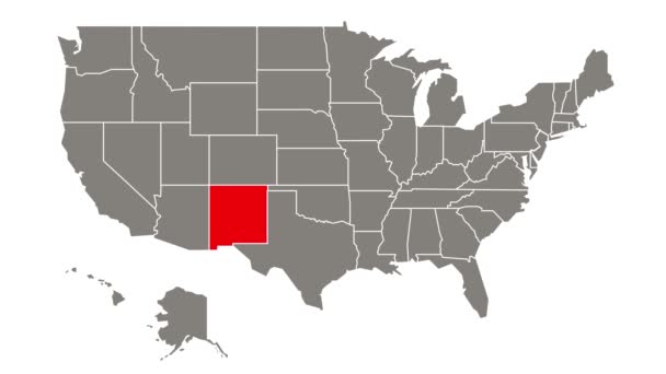
Nouveau Mexique état fédéral clignotant rouge mis en évidence dans la carte des États-Unis
Nouveau Mexique État Fédéral Clignotant Rouge Mis Évidence Dans Carte — Video
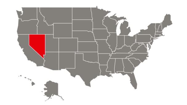
Nevada état fédéral clignotant rouge mis en évidence dans la carte de États-Unis
Nevada État Fédéral Clignotant Rouge Mis Évidence Dans Carte États — Video
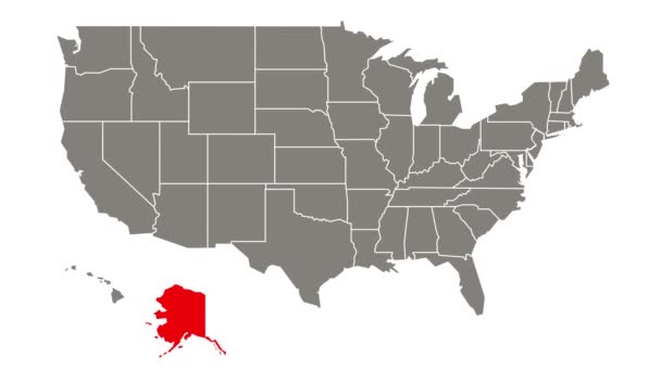
Alaska état fédéral clignotant rouge mis en évidence dans la carte de États-Unis
Alaska État Fédéral Clignotant Rouge Mis Évidence Dans Carte États — Video
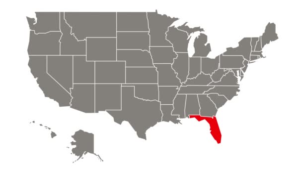
Floride état fédéral clignotant rouge mis en évidence dans la carte de États-Unis
Floride État Fédéral Clignotant Rouge Mis Évidence Dans Carte États — Video
Texas état fédéral clignotant rouge mis en évidence dans la carte de États-Unis
Texas État Fédéral Clignotant Rouge Mis Évidence Dans Carte États — Video
Arizona état fédéral clignotant rouge mis en évidence dans la carte de États-Unis
Arizona État Fédéral Clignotant Rouge Mis Évidence Dans Carte États — Video
Connecticut état fédéral clignotant rouge mis en évidence dans la carte de États-Unis
Connecticut État Fédéral Clignotant Rouge Mis Évidence Dans Carte États — Video
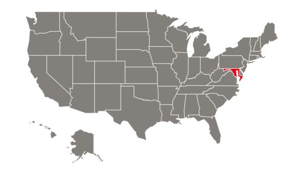
Maryland état fédéral clignotant rouge mis en évidence dans la carte de États-Unis
Maryland État Fédéral Clignotant Rouge Mis Évidence Dans Carte États — Video
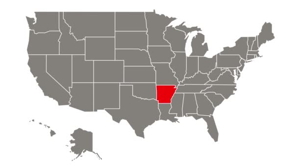
État fédéral de l'Arkansas clignotant rouge mis en évidence dans la carte de États-Unis
État Fédéral Arkansas Clignotant Rouge Mis Évidence Dans Carte États — Video
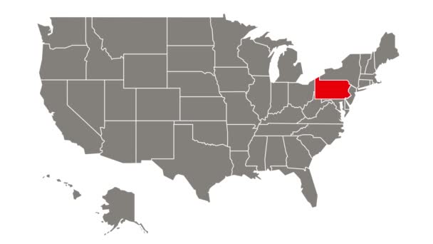
Pennsylvanie état fédéral clignotant rouge mis en évidence dans la carte de États-Unis
Pennsylvanie État Fédéral Clignotant Rouge Mis Évidence Dans Carte États — Video
État fédéral du Missouri clignotant rouge mis en évidence dans la carte des États-Unis
État Fédéral Missouri Clignotant Rouge Mis Évidence Dans Carte Des — Video
État fédéral du Kansas clignotant rouge mis en évidence dans la carte des États-Unis
État Fédéral Kansas Clignotant Rouge Mis Évidence Dans Carte Des — Video

Informations d'utilisation

Vous pouvez utiliser cette image vectorielle libre de droits "Black flat blank highlighted location map of the CAMROSE COUNTY municipal district inside gray administrative map of the Canadian province of Alberta, Canada" à des fins personnelles et commerciales conformément à la licence Standard ou Étendue. La licence Standard couvre la plupart des cas d’utilisation, comprenant la publicité, les conceptions d’interface utilisateur et l’emballage de produits, et permet jusqu’à 500 000 copies imprimées. La licence Étendue autorise tous les cas d’utilisation sous la licence Standard avec des droits d’impression illimités et vous permet d’utiliser les fichiers vectoriels téléchargés pour la marchandise, la revente de produits ou la distribution gratuite.

Cette image vectorielle s’adapte à n’importe quelle taille. Vous pouvez l’acheter et la télécharger en haute définition jusqu’à 3664x6506. Date de l’upload: 10 janv. 2022